The HAPPY WMS (Web Map Service) mapping system offers access to an almost infinite catalog of maps.
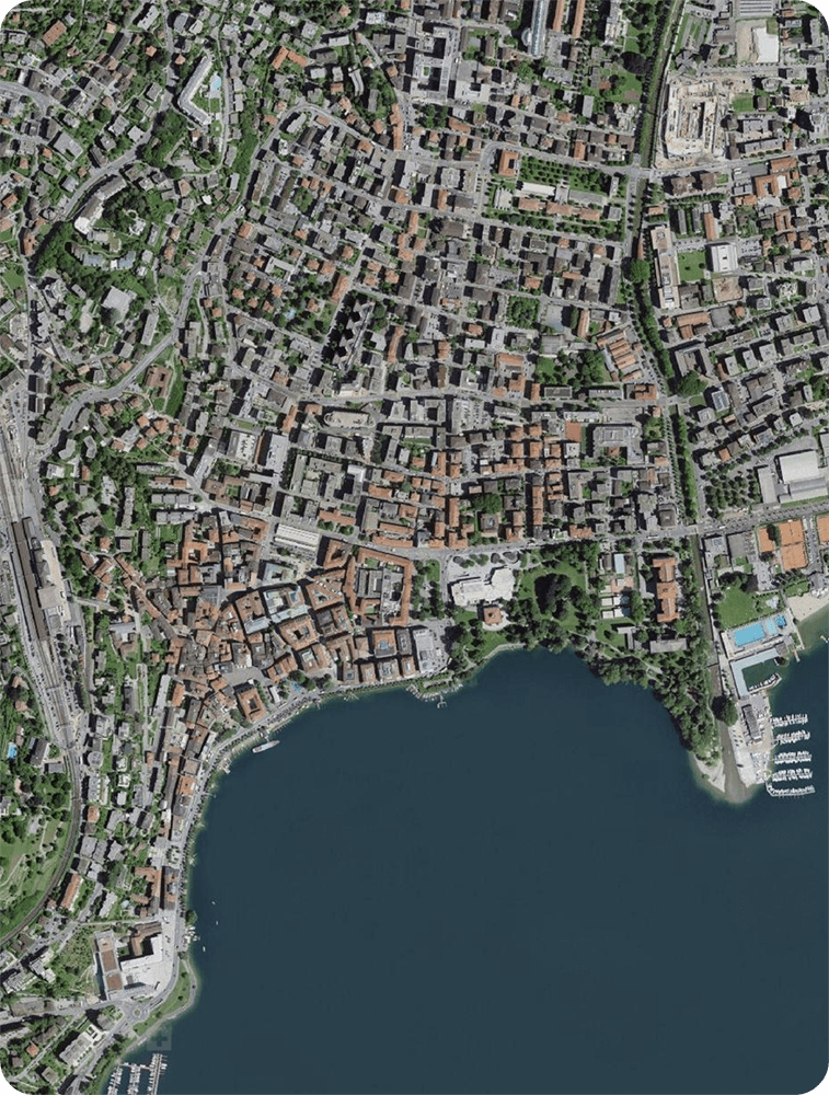
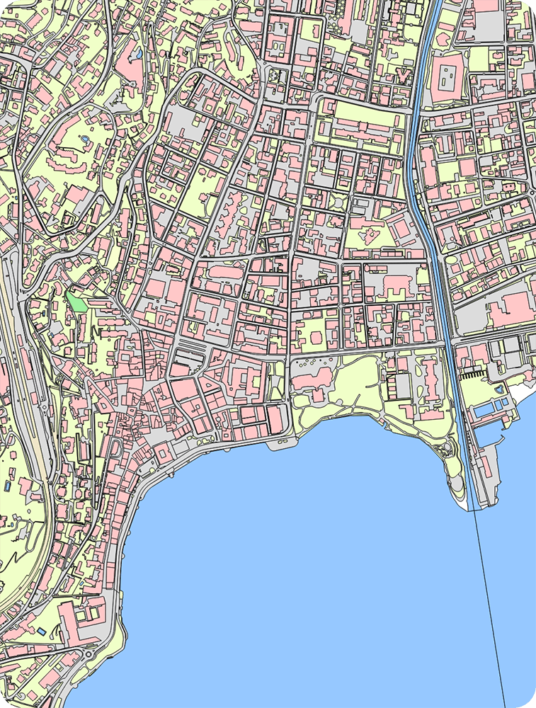
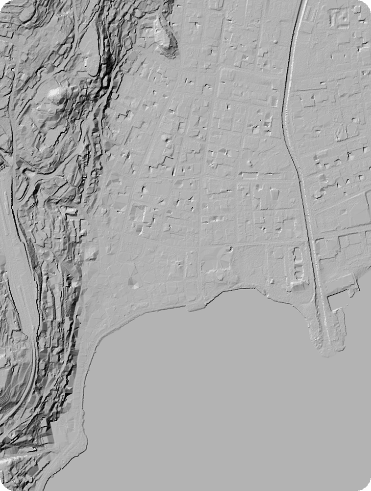
By connecting to publicly available online databases, users can access various local thematic maps, allowing for fast and intuitive work.
Dynamic cloud-based cartography
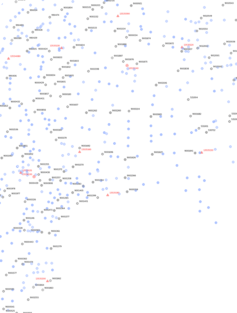
Whether surveying or staking out, by activating the desired layers, users can display underground infrastructure, land use, transportation systems, or any relevant information in the background.
Dynamic cloud-based cartography
Whether surveying or staking out, by activating the desired layers, users can display underground infrastructure, land use, transportation systems, or any relevant information in the background.
Build your own map
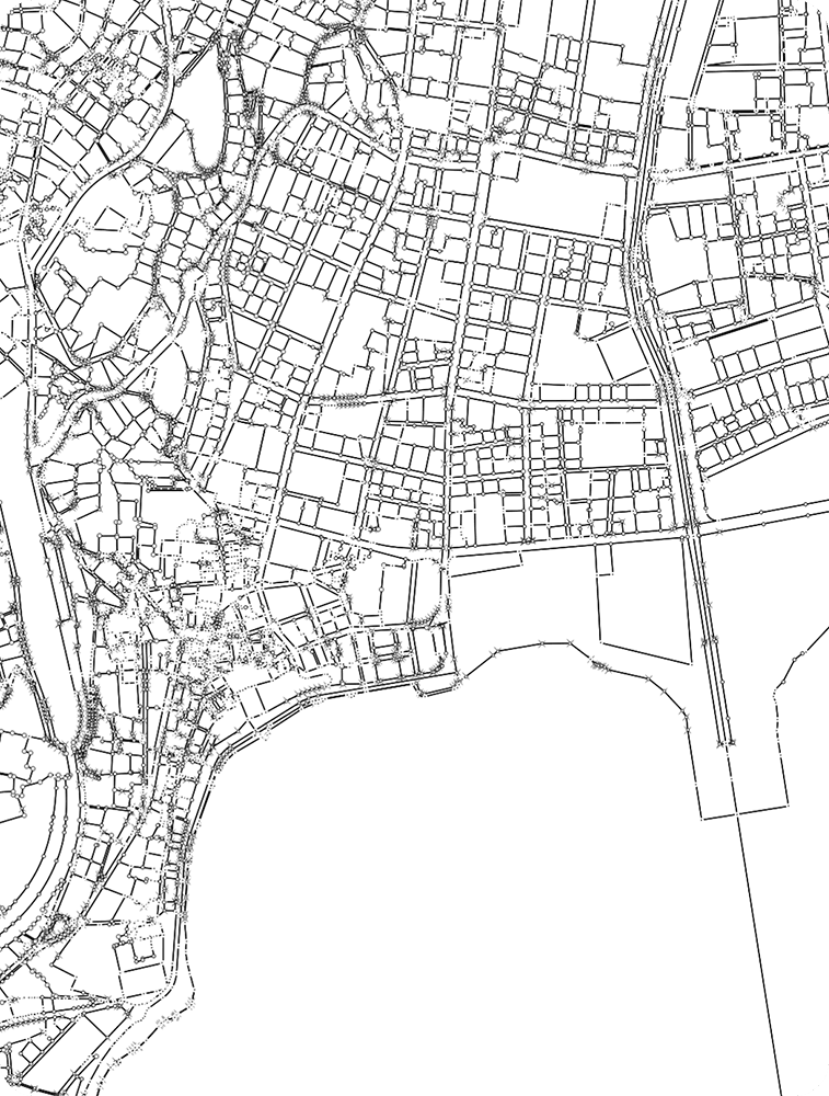
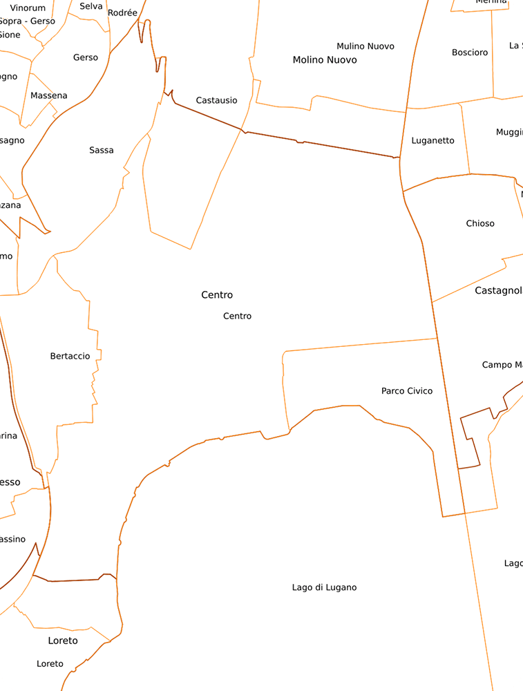
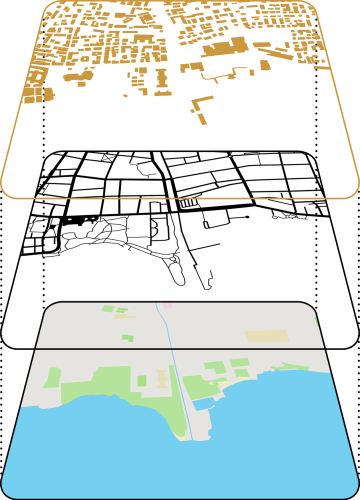
Maps from well-known portals—often provided by Cantons or private companies—can be combined to create custom overlays. You can also upload a personalized WMS designed for specific needs.
The possibilities are endless!
Build your
own map
Maps from well-known portals—often provided by Cantons or private companies—can be combined to create custom overlays. You can also upload a personalized WMS designed for specific needs.
The possibilities are endless!

DXF + WMS = WOW!
While using WMS as a background map is already revolutionary, what if you could add interactive objects or projects?
This unique feature in the surveying world lets you upload any vector element and embed it into your mapping environment.
DXF + WMS = WOW!
While using WMS as a background map is already revolutionary, what if you could add interactive objects or projects?
This unique feature in the surveying world lets you upload any vector element and embed it into your mapping environment.


