

Overview Specifications


Laser
integrated
AR
camera
Laser integrated
AR camera
HAPPY TITAN is a GNSS sensor designed for power, precision and versatility.
It combines a dual-camera system, augmented reality measurement, integrated laser, centimeter-level accuracy, and a super IMU that works up to 120° tilt—a true all-in-one surveying powerhouse.
HAPPY TITAN is a GNSS sensor designed for power, precision and versatility.
It combines a dual-camera system, augmented reality measurement, integrated laser, centimeter-level accuracy, and a super IMU that works up to 120° tilt—a true all-in-one surveying powerhouse.
HAPPY TITAN is a GNSS sensor designed for power, precision and versatility. It combines a dual-camera system, augmented reality measurement, integrated laser, centimeter-level accuracy, and a super IMU that works up to 120° tilt—a true all-in-one surveying powerhouse.
One sensor, endless possibilities
Pair HAPPY TITAN with the tablet that best suits your needs
One sensor, endless possibilities
Pair HAPPY TITAN with the tablet that best suits your needs
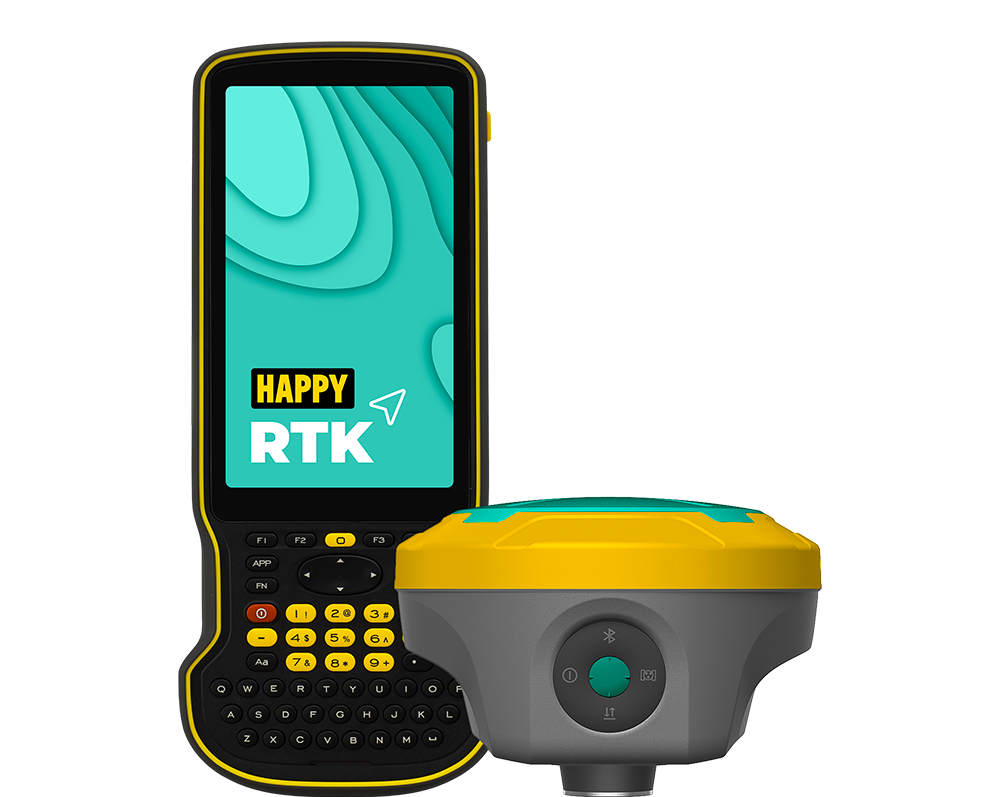
ZUG
with physical keyboard
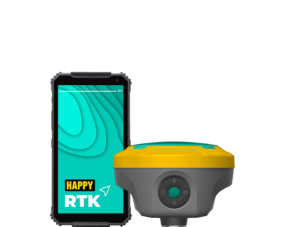
APPENZELL
the 6″ little genius
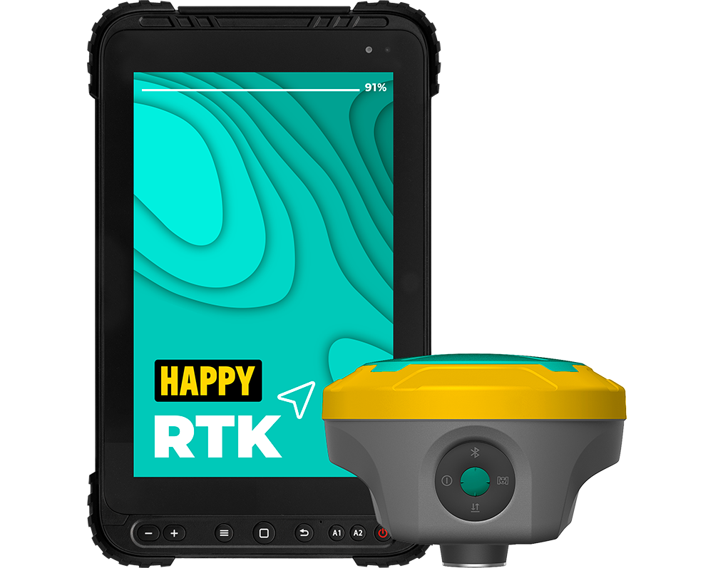
LAUSANNE
the 8″ all-rounder
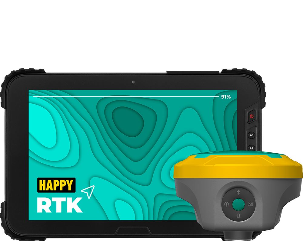
ZÜRICH
the 10″ PRO tablet
AR makes stakeout simple
Stakeout points appear directly on the ground, letting surveyors reach each location in a single step. Clear arrows on the real-world map guide them, reducing repeated adjustments and making the workflow faster and more accurate.
AR makes stakeout simple
Stakeout points appear directly on the ground, letting surveyors reach each location in a single step. Clear arrows on the real-world map guide them, reducing repeated adjustments and making the workflow faster and more accurate.

AR makes stakeout simple
Stakeout points appear directly on the ground, letting surveyors reach each location in a single step. Clear arrows on the real-world map guide them, reducing repeated adjustments and making the workflow faster and more accurate.
AR makes stakeout simple
Stakeout points appear directly on the ground, letting surveyors reach each location in a single step. Clear arrows on the real-world map guide them, reducing repeated adjustments and making the workflow faster and more accurate.
Laser surveying
HAPPY TITAN integrates an exclusive laser measurement system. This combination enables precise measurements even in complex scenarios, such as covered areas or hard-to-reach locations. With the integrated laser, it is possible to measure points that would normally be inaccessible with a traditional RTK receiver, reducing time and complexity in field operations while ensuring reliable results wherever they are needed, always maintaining the highest precision.
3 cm up to 5 meters
A camera for precise laser measurements
Under intense sunlight, it can be difficult to see the laser beam. Using the front camera eliminates this problem, making fieldwork easier and ensuring significantly faster, more accurate, and smoother measurements.
A camera for precise laser measurements
Under intense sunlight, it can be difficult to see the laser beam. Using the front camera eliminates this problem, making fieldwork easier and ensuring significantly faster, more accurate, and smoother measurements.

A camera for more precise laser measurements
Under intense sunlight, it can be difficult to see the laser beam. Using the front camera eliminates this problem, making fieldwork easier and ensuring significantly faster, more accurate, and smoother measurements.
A camera for precise laser measurements
Under intense sunlight, it can be difficult to see the laser beam. Using the front camera eliminates this problem, making fieldwork easier and ensuring significantly faster, more accurate, and smoother measurements.
Safer measurements with laser technology
HAPPY TITAN uses laser measurement to keep surveyors out of harm’s way. Whether near busy roads, high-voltage towers, or transformers, the laser targets points with precision, allowing accurate readings from a safe distance.
Safer measurements with laser technology
HAPPY TITAN uses laser measurement to keep surveyors out of harm’s way. Whether near busy roads, high-voltage towers, or transformers, the laser targets points with precision, allowing accurate readings from a safe distance.

Capture now, measure later
With the HAPPY TITAN’s built-in front camera, you can capture high-resolution photos directly in the field. Later, in post-processing, simply tap any point within the image to extract its precise coordinates.
This powerful feature is ideal for areas that are difficult to access, such as construction trenches, wide excavation zones, or hazardous environments. It ensures that no detail is missed, even when direct measurement isn’t possible in the moment.
Super IMU: forget recalibration
Thanks to a fast-start, calibration-free IMU sensor immune to magnetic interference, measuring with the HAPPY TITAN allows surveyors to capture point coordinates flexibly — whether the receiver is level or the pole is tilted. The system delivers reliable results with each measurement, making the process faster and more efficient. Additionally, it supports tilt angles of up to 120°.
120°
up to
Outstanding GNSS performance
HAPPY TITAN features a 1408 channel GNSS engine and advanced tracking algorithm to lock onto all satellite constellations, ensuring fast and stable fixes. Its interference mitigation technology allows accurate positioning even in dense forests or near tall buildings. Delivers 8 mm horizontal and 15 mm vertical precision.

More great features
More great features

HAPPY RTK
The revolutionary proprietary software that integrates Google Maps and WMS

IP67
Ready for any weather condition

Multipath filter
Improves surveying in urban areas and near glass buildings

Cloud
Your data is safe and accessible on any device

Internal SSD
64 GB of built-in memory

800 g
Incredibly compact and lightweight for easier work