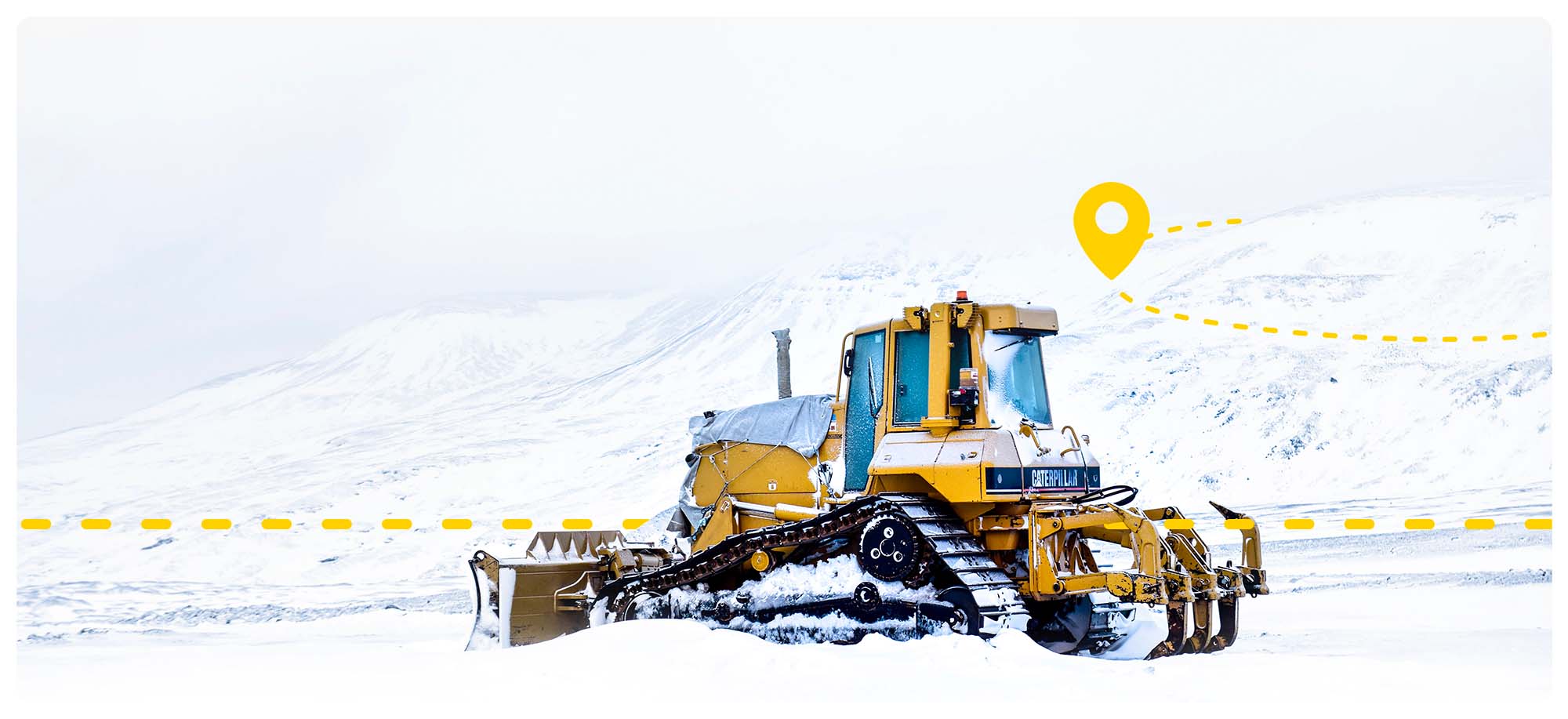
HAPPY NAV is a navigation software developed to keep roads clear of snow, ideal for conditions with low or no visibility.

Using the algorithms from HAPPY RTK, we calculate the road position with extremely high precision, allowing for safe operations at all times.

HAPPY NAV is a navigation software developed to keep roads clear of snow, ideal for conditions with low or no visibility.

Using the algorithms from HAPPY RTK, we calculate the road position with extremely high precision, allowing for safe operations at all times.

User-friendly interface

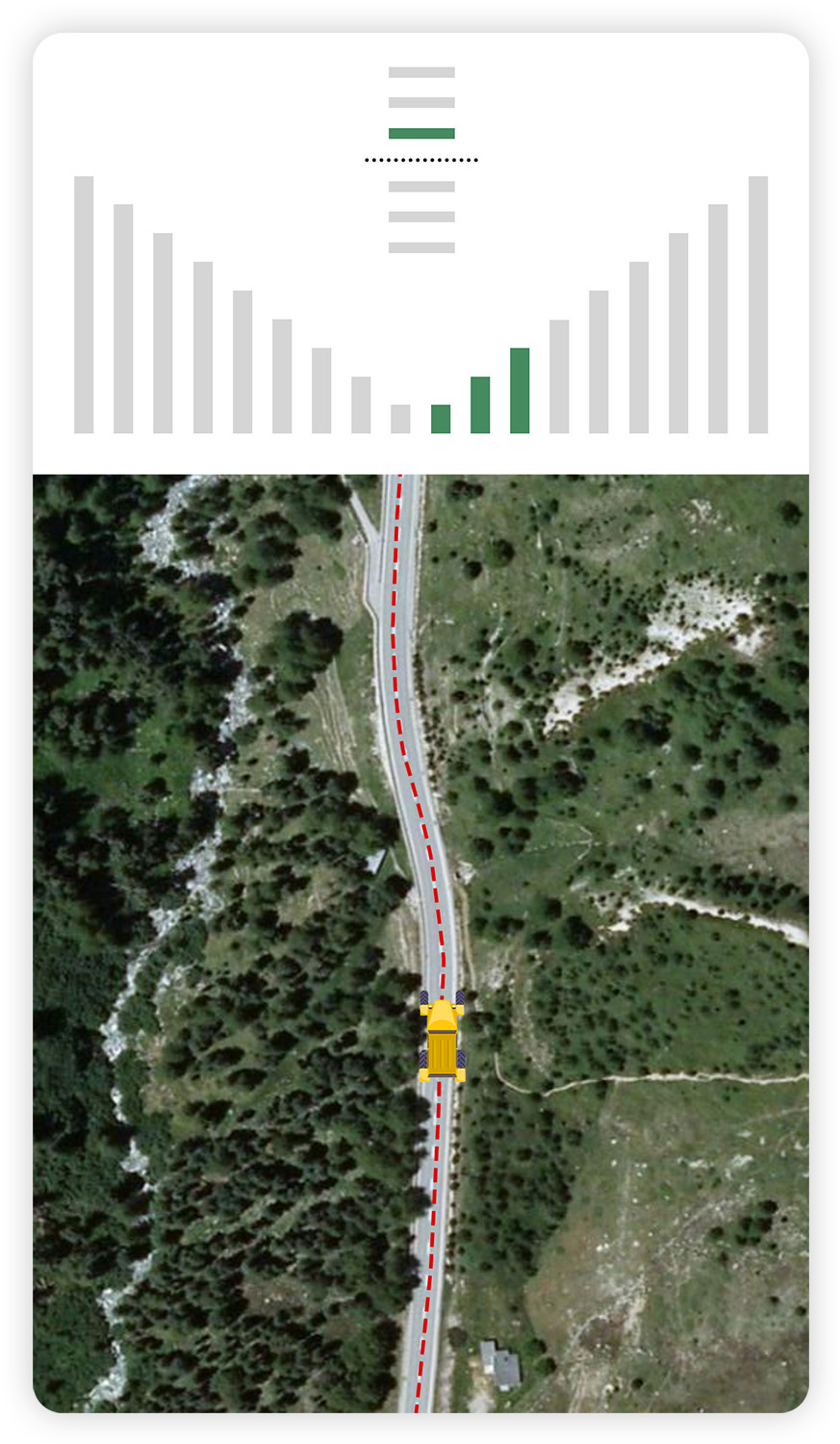
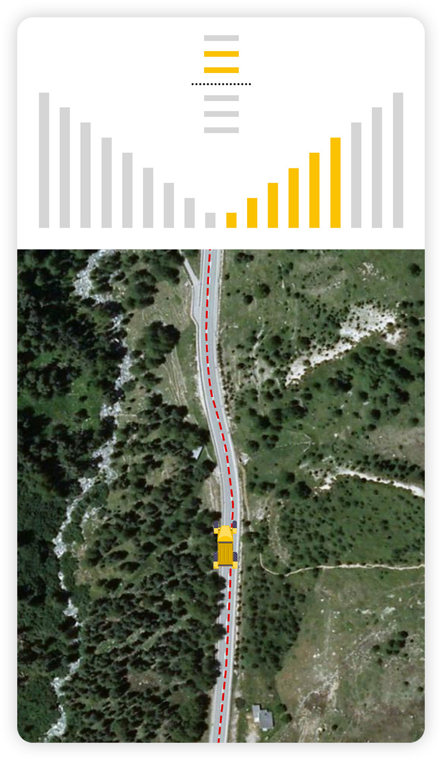
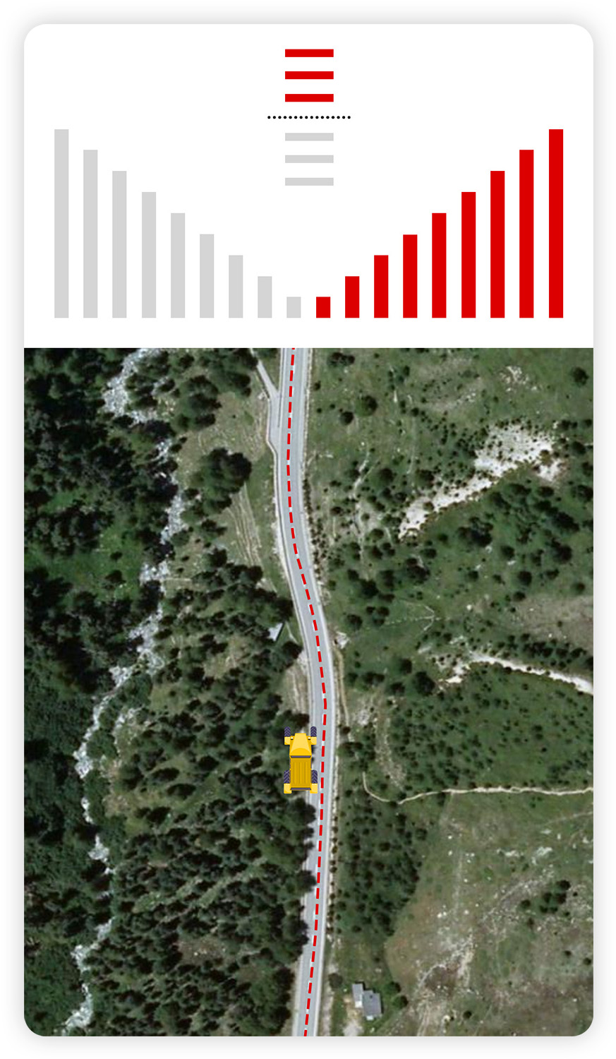
The interface of HAPPY NAV is designed for professionals who face harsh and demanding conditions daily—there’s no time to decipher strange symbols on a tablet.

That’s why we created a simple and intuitive system, so users can instantly understand whether they are following the path correctly.

True precision!

HAPPY NAV is nothing like conventional satellite navigation systems, which allow for 3–5 meter accuracy. By using multi-frequency sensors, the HAPPY SURVEY software achieves real-time accuracy of less than 10 cm.

This makes all the difference when driving through completely snow-covered terrain with limited visibility.

Want to learn more? Book a live demo

Want to learn more? Book a live demo